 A busy weather evening with a cold front moving inland…nice little line of heavy rain coming over the Coast Range right now. Then after checking temperatures/dewpoints in the Gorge, I decided that it looks good for .20-.40" of precip falling in frozen form tonight. That should be mainly above river level (I-84). The flow turns westerly tomorrow, so temps rise up into the lower 40’s.
Here in the metro area, just showers and sunbreaks for Saturday with lots of post-frontal cold airmass showers showing up on the infrared satellite looper.
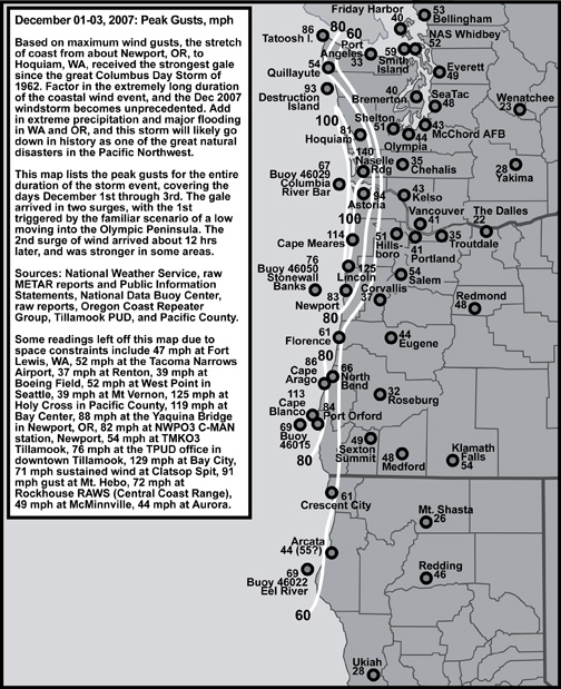
System #2 arrives Sunday morning…I still see low level wind along the coastline forecast at 40-45 kts. That should produce gusts above 60 mph for the first wind "event" since the "Great Coastal Gale of 2007" (unofficially named by Wolf Read, thanks for the graphic). That cold front is going to be a juicy one with quite a bit of snow in the Cascades too.
As for Tuesday, I notice there has been some vibrant discussion in the previous post’s comments (and now I assume in this post). Models HAD been showing a surface low moving onto the coastline to the south of us, then tracking in towards N. Idaho. Now the 00z GFS shows a weakening low moving towards the coastline kind of "morphing" into a low up near Puget Sound by Tuesday evening. Hmmm, I assume future model runs will look much different. Regardless of the track, it wouldn’t be cold enough to snow in the lowlands of Western Oregon since there is no significant cold or dry air in place over us at the time. More important, the low level cold air currently in place to our east will be wiped out by systems number 1 & 2. Possible yes, but very unlikely for us to get snow on Tuesday then.
Beyond that…more systems later next week…anything is possible, so lots to watch! Got to go now…11pm show awaits…Mark Nelsen

I heard that Mark. A little in-betwwen commercial weather break.
You said “A white X’mas? Quite possible”.
Well, there is a snowflake in the 7 day now. Thursday night/Friday morning.
31.1 here now….heard through the grapevine that it was snowing at my house for 3 hours this morning( I was at work).
Maybe something more substantial late tonight??
Good evening all.
31.8 out right now w/ moisture approaching rapidly from the south and offshore winds….possible snow tonight for me???
Thoughts??
http://www.weatherunderground.com/cgi-bin/findweather/getForecast?query=98205
Here’s something else to consider…

[Pacific Ocean pressure falls/rises/observations]
This map is current and places our low around 986mb. What’s impressive to me is the pressure falls out ahead of the low.
Pressure falls
-0.28
-0.33
-0.65
-0.73
These are definitely the greatest pressure falls I’ve seen with this low.
[WV Loop]
http://www.atmos.washington.edu/~ovens/loops/wxloop.cgi?wv_enhanced+12
The low is near 131.6W, 44N moving E to perhaps slightly ENE. According to models it’s supposed to peak very soon, then as it crossed 130-129W begin it’s weakening cycle. We’ll see….
How active of a weather pattern are we in anyway what is the general scoop alot of pacific lows with the threat of gale force winds?
Very cold air aloft projected for Thursday and Friday morning, any thoughts around snow to the valley??? MM5 not out yet with the 00z but GFS is running now…
http://www.cascadeaccess.com/~mnelsen/Models/avn00z850mb.html
Thicknesses are projected at 522…
http://www.cascadeaccess.com/~mnelsen/Models/avn00zsfc.html
Active weather patterns like this doo
often include a very cold period. Maybe
the cold air in Siberia and now even
in Alaska will get the right opening to
slip down.
Grateful, I’m assuming its the jet stream that models are predicting. Each color representing a certain model. Nice concensus towards the end, albeit, that far out
Jacob… whats all that spaghetti mean anyway? I dont know how to read that model at all… is there a place I can go to learn it?
Maybe its the deeper than predicted warmer layer near the equator. I read in the paper the other day that theres a stream or something (can’t remember exactly) thats 70 years ahead of schedule of predicted warming. Maybe its that air clashing with the polar jet therefore producing more powerful storms. Anyone know what I’m talking about?
Weatherlurker-
It seems to me that there are a lot of
deep lows in the Pacific, does anyone
have any ideas why? What’s setting this
up? Just looking for imput or perspective.
Bust then?. My barometer electic on is at 29.35 slow dropping trend now instead of rising
A couple of models are showing a big trough over us around new years. January might be a very fun month.
Kind of interesting to say the least. Thats a nice trend most models see.
I’m adding that link to my faves. Thanks Jacob.
That was my post with the long range forecast. Hmmm.. type pad issues when I’m working on a remote computer.
http://www.nco.ncep.noaa.gov/pmb/nwpara/analysis/namer/gefs/00/index_50f_m_loop.shtml
interesting the Last few Frames
and Christmas
Koin has the tomorrows low coming in central oregon coast. hmmmmm,, maybe more south on wed/thurs as well? Something to consider
OK,remember last week when we all were thinking, based on the GFS that the low would slide in south of us? Well, now we start the same thing all over by looking a week ahead for a big storm slamming the coast with high winds.
I think the models are having fits with the energy in the pacific. The GFS is in particular a mess IMHO.
That said, I have a forecast I think everyone can agree upon.
“Continued unsettled periods. Occaisional rain, fog, and drizzle. Maybe a sunny day or two. Until June”.
MERRY CHRISTMAS!
(and don’t be surprised if you wake up some morning to unforecasted snow)
I notice the PDX-DLS gradient is “up” to -2.2
East wind kicking in a bit. Chilly rain out there tonight.
lurvy-
Is this not the 00z GFS for today?
http://www.cascadeaccess.com/~mnelsen/Models/avn00zsfc.html#36
I thought the link on Mark’s page was updated before the one on the UW weather page but the times on these models always get me bass ackwards.
Lookout for late WED/early THur…NAM has shifted this down to mid Van ISL…could be a sneaker…we’ll see 🙂
look at christmas day… hmmm. not too far out, hey, you never know…
http://wxweb.meteostar.com/sample/sample.shtml?text=KPDX
Hey all, 00z GFS has not run yet for tonight. Only the NAM and it’s only at 66 hours right now.
Yup Rob, it is way out there. Nothing to get excited about yet, especially with the early trend appearing to be pushing it north. Although it’s also trending towards making it extremely strong.
There seems to be something about our current weather pattern that is producing some ridiculously low pressure systems out in the Pacific.